So far my friend Paul Salopek has taken 10,062,044 footsteps on the Out of Eden Walk. Ten million connections between foot and ground. How do I know this? I asked him what his stride length was.
“Thirty-two inches” he answered without a beat of hesitation.
Who knows their stride length off the top of their head, to the precision of an inch? Surveyors and many field scientists certainly do, to allow for quick estimates of distance obtained by walking. I imagine long jumpers, hurdlers, and speed walkers may also know this.
But a journalist?
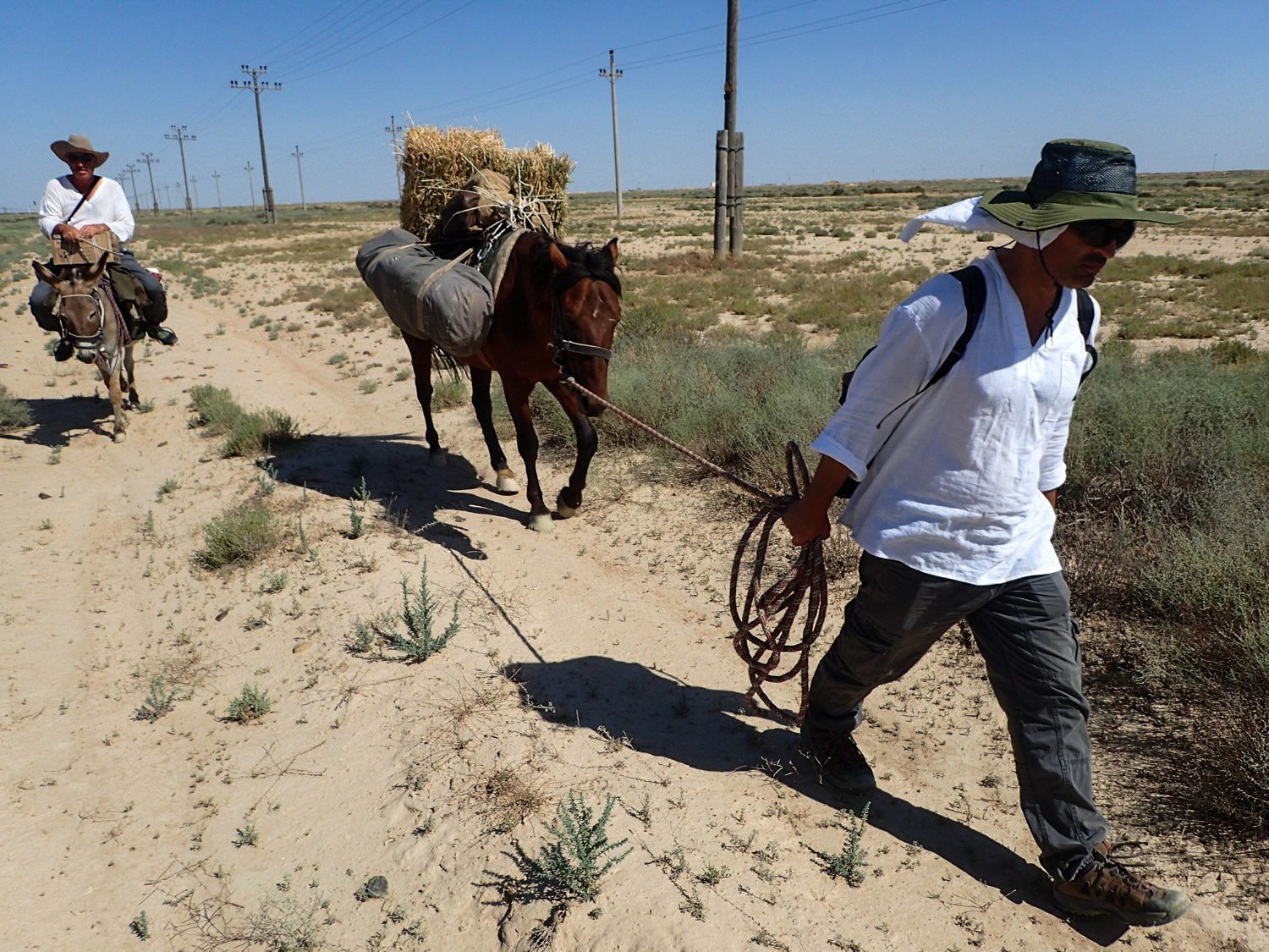
Step by step Paul is walking the globe, engaging with everyone he encounters. The full journey will be measured in thousands of miles, but 32 inches is the scale at which human understanding occurs along his way.
Now that I knew Paul’s stride, calculating the total number of footsteps required knowing the total distance traveled. For this we use the Global Positioning System.
Paul carries a GPS mapping device (photo above) that determines and records his position every 15 seconds. Here’s a related article with a bit more on GPS technology and the walk.
With my mapping software, I’ve strung together these individual position recordings to calculate a total distance walked so far: 5,082 miles from Herto Bouri, Ethiopia, to Kokand, Uzbekistan. Enter a stride length of 32 inches into the equation, and total footsteps are calculated.
To visualize this phenomenon of ten million footsteps, I’ve loaded the completed route onto Harvard’s WorldMap system for anyone to visualize and interact with. WorldMap enables the mixing and mashing of geographic data and base maps, allowing for many different cartographic perspectives.

Overlaid on the Esri World Street Map, the dark red line marks Paul’s walked route. The orange dashes show where he had no option but to board vessels for water crossings.

Hugging the southern flank of the Caucasus mountains through Azerbaijan on a Google Terrain base map.

Striding eastward to the north of Turkey’s Lake Atatürk on Stamen Design’s Watercolor base map.

Navigating Cyprus with Google’s Satellite base map.

Ambling through Aktau, Kazakhstan, across OpenStreetMap’s base map.

The walk route color-coded on Esri’s Dark Gray base map.
The table below lists distances and footsteps from 2013 to 2016:
Kilometers walked Miles walked Footsteps Uzbekistan 2,059 1,279 2,533,218 Turkey 1,657 1,030 2,038,502 Saudi Arabia 1,225 761 1,506,726 Kazakhstan 712 442 875,450 Azerbaijan 504 313 619,951 Georgia 443 275 545,301 Jordan 442 275 543,975 Ethiopia 407 253 501,181 West Bank 278 173 341,628 Djibouti 156 97 192,271 Israel 148 92 182,358 Cyprus 148 92 181,483 Totals 8,178 5,082 10,062,044
For many of us, it’s hard to imagine connecting with people from as many countries and cultures as Paul is in a lifetime, much less in just 4 years. But the step that counts for all of us is our next one: With every footstep comes a new location on Earth. A new observation, a fresh perspective. A deeper understanding of humankind. We all need to think about the footsteps we take—where they’re directed, and what they mean.
Jeff Blossom, with the Center for Geographic Analysis at Harvard, is the Out of Eden Walk’s chief cartographer. Jeff invites everyone to interact with The Completed Route map. Map creators can download the completed route in GIS format.